WHERE?
JCWL geopark website
WHEN?
6th October: International Geodiversity Day
ORGANISER
JCWL Staff
Lá Idirnaisiúnta um Geo-Éagsúlacht / International Geodiversity day 2022
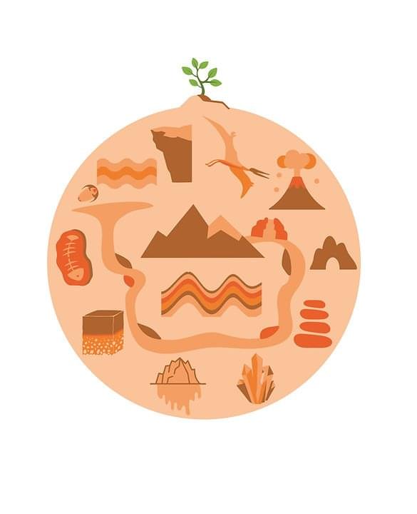
Today marks the first ever International Geodiversity Day as proclaimed by the UNESCO at its 41st General Conference in 2021. Geodiversity represents the variety of our mineral environment, i.e. all the parts of nature that aren’t alive. Geodiversity is the driver of biodiversity and also impacts many areas of society. These links are celebrated by UNESCO Global Geoparks throughout the world and particularly today.
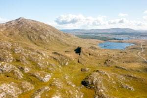
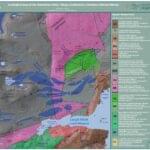
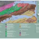
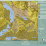
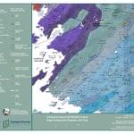
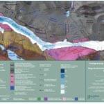
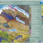
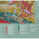
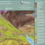
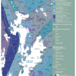
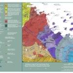
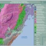
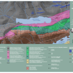
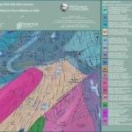
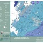
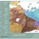
We are very lucky in the Joyce Country and Western Lakes Geopark region to have such a rich geodiversity. The mountains and lakes of Joyce Country displaying a very rich variety of rocks (most rocks you would have heard about are there, including Connemara Marble) and telling a story over 700 million years old (see Finny or Glen Inagh for example). The limestone areas to the east of Loughs Mask and Corrib are fine representation of the karst landscape and features found in Ireland including one of the fastest flowing spring complexes in the World in Cong. And all the marks left by the growth, movement and melting of the glaciers and Ice Sheets of the Ice Ages of the Quaternary period (see Killary 峡湾 or The Deircs for example).

