IT’S ALL
While there’s a great richness of geology in this region, more than anything else a geopark is about people – those who live here now, those who were here during thousands of years, and those who will live and sustain here in future. It’s also about visitors who want to experience and explore our whispering landscape, guth na talún … the voice of our ground.

Community has been the driving force behind the geopark idea. A voluntary organisation GeoTreallús Dhúiche Sheoigheach agus Lochanna an Iarthair (Joyce Country and Western Lakes Geoenterprise) is a company limited by guarantee/CLG set up to represent the interests of about 20 communities and some local NGOs and achieve the goal of a sustainable geopark. Managed by a board with expertise drawn from across the communities and wider experience, it has led preparation of successful funding applications to Geological Survey Ireland, Údarás na Gaeltachta and Ireland 2040 funds. The current Joyce Country and Western Lakes Geopark Project is supported by these and other collaborating state partners.
The proposed JCWL geopark region covers over 1500 km2 including Lough Carra, Lough Mask and about half of Lough Corrib. It primarily includes the territory and communities around the villages of Ballintubber, Carnacon, Killawalla, Aghagower, Partry, Tourmakeady, Finny, Leenane, Recess/Lough Inagh, Maam, Maam Cross, Cloghbrack, Glencorrib, Corr na Móna, Oughterard, Cross, Clonbur and The Neale. Ballinrobe, Cong and Headford are the only towns. Larger centres of population (outside the territory) including Galway City, Westport and Castlebar are ‘gateways’. These communities are organised in a network following a charter of principles described in the Geopark’s tourism strategy. The work of this network aligns very well with the UN SDGs in particular Goal 4 (Quality Education) and Goal 11 (sustainable communities).
![]()
Our local schools
The Joyce Country and Western Lakes Geopark is also involved with all the local schools of the region, at primary and secondary level. The geopark geologist offers visits to the school where local geology and heritage is presented with some samples for the students to interact with. Field visits can also be organised. If you are interested in booking a visit from the geologist, contact us.
This website also contains curriculum tips on how to use the geopark as an outdoor classroom and various other resources for teachers (see more information in our learning page).
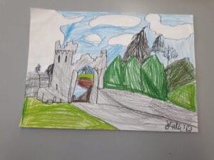
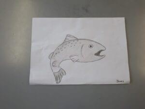
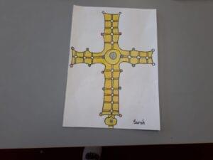
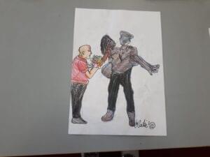
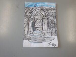
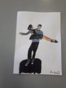
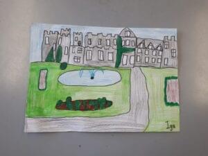
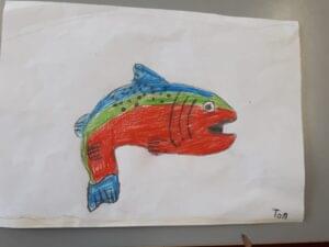
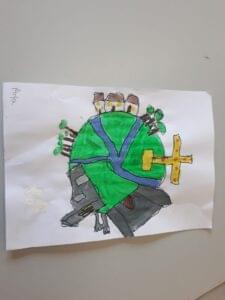
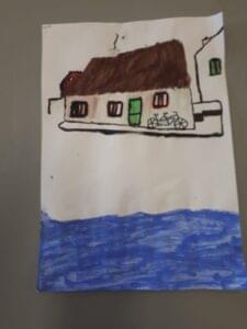
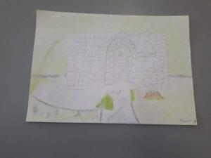
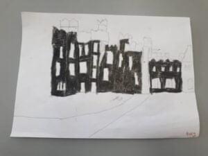
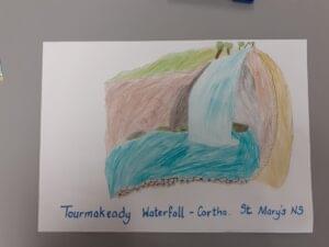
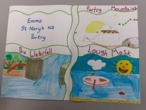
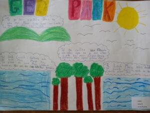
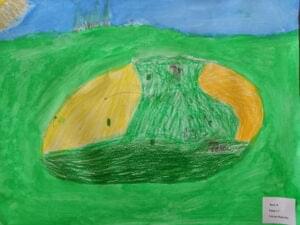
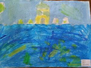
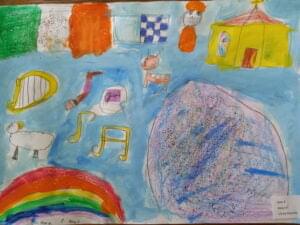
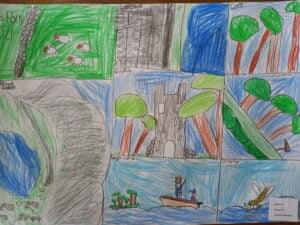
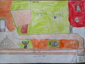
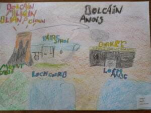
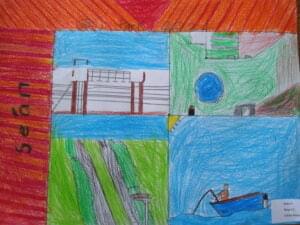
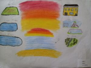
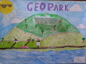
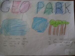
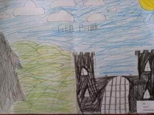
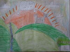
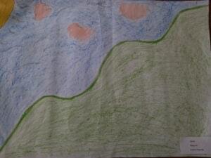
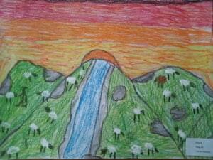
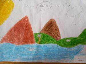
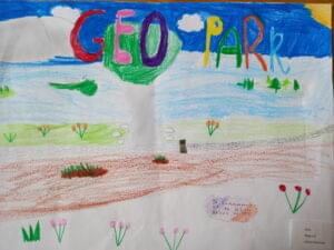
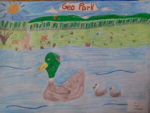
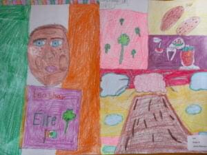
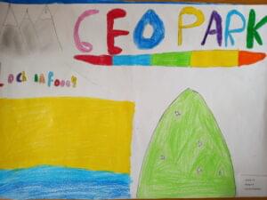
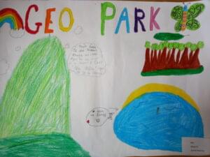
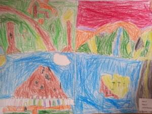
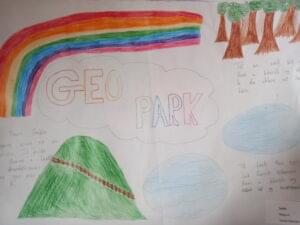
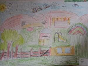
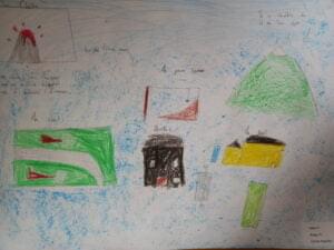
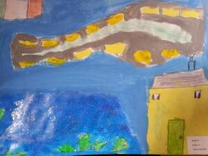
Local primary school pupils were asked to make a poster on their local heritage for them to be displayed at the exhibition space of the geopark’s conference in 2021. See them in the gallery to the right.

Stories to tell
The Joyce Country and Western Lakes Heritage Network was created in the summer of 2020 linking members of the local historical societies and members of the community councils with an interest in heritage to exchange and collaborate on projects for the whole region. The network helps to study and celebrate the strongly connected histories of our towns and villages, our valleys and our lakes. The first project, a compilation of short articles including some in both English and Irish, focussed on the three large western lakes of Carra, Mask and Corrib and was published as part of National Heritage Week 2020. See the project document 在此.
If you are interested in joining the Joyce Country and Western Lakes Heritage Network, contact us.
