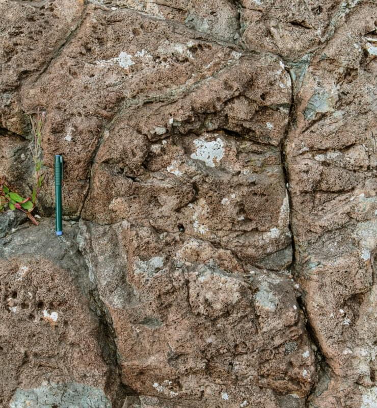
The aspiring geopark is home to rocks of many ages and has examples of rocks from most of the geological periods, from the Precambrian to the Quaternary (700 million years ago to the present day).
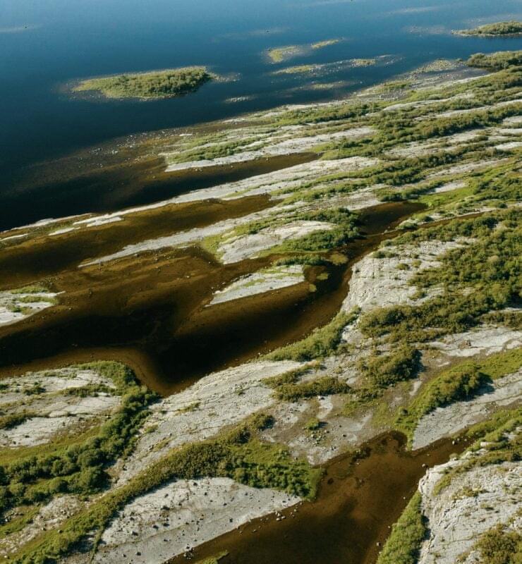
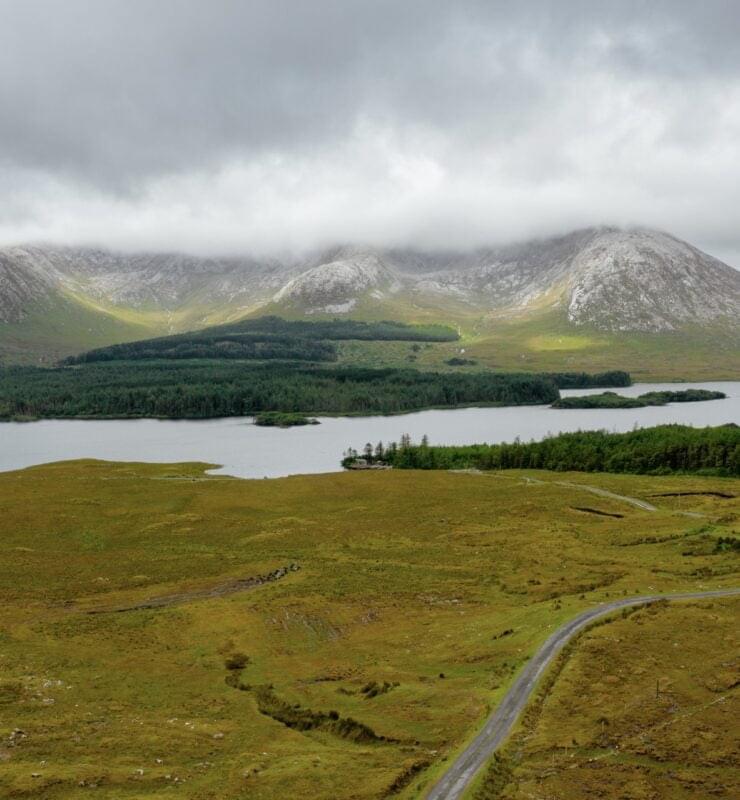
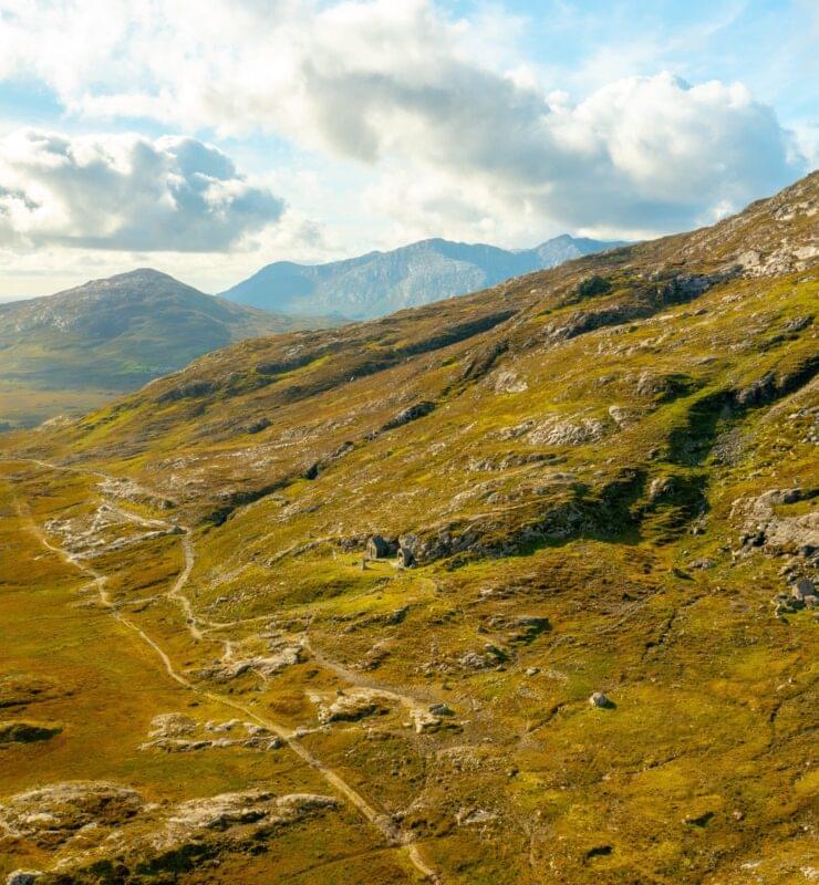
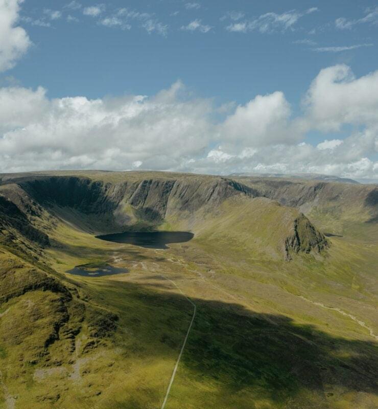
The rocks and geological structures are what help us piece together Ireland’s movement through geological time: from its origin in a new shallow ocean in the southern hemisphere, to when Ireland went from being two separate continents to colliding and becoming one, to being part of a long mountain belt, to moving northwards to the tropics and being covered by warm, clear seas where coral reefs grew, and finally to its current location. These sites of interest help tell this geological story that not only spans millions of years, but also many different latitudes, climates, temperatures and sea-levels. They also show times when Ireland experienced lots of volcanic activity, or when Ireland was under an ocean and covered by the sea. The landscape we see today ties all of this geological activity together, including how glaciers of the latest geological period, the Quaternary, has shaped the landscape.
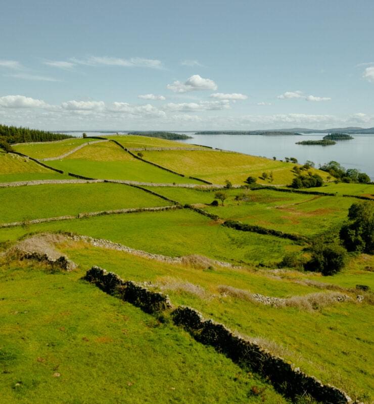
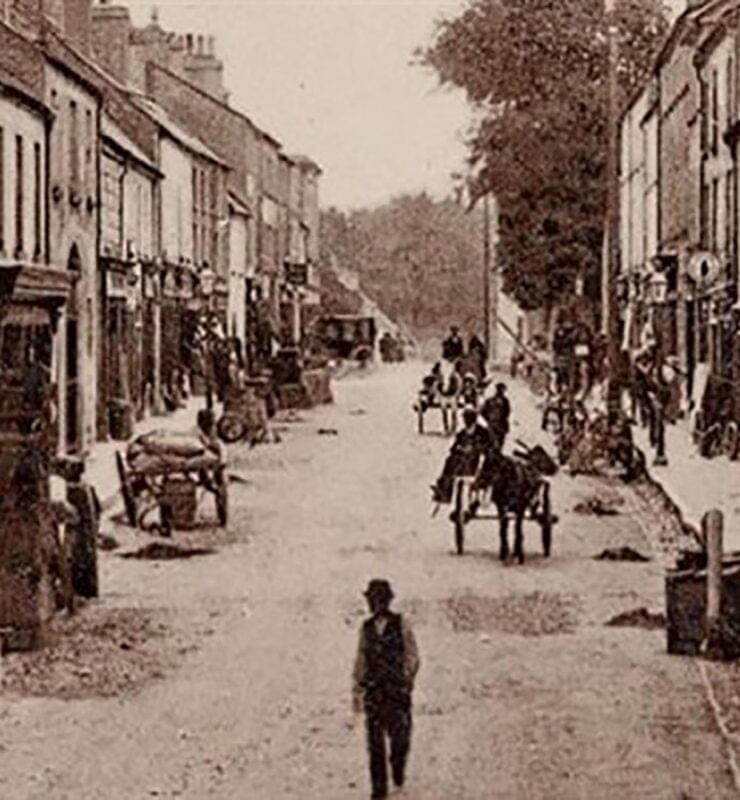
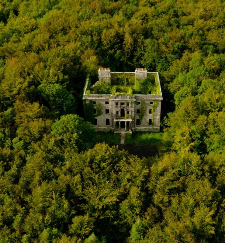
These geosites either have geology of international significance – some of them are unique both in Ireland and worldwide – or are part of the rich cultural history of the area, which are the fundamentals of becoming a geopark.