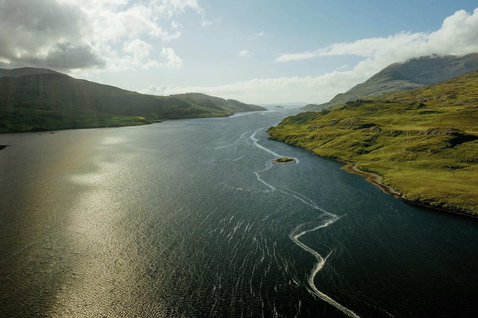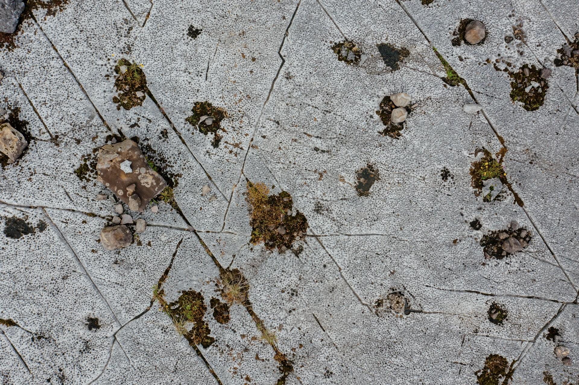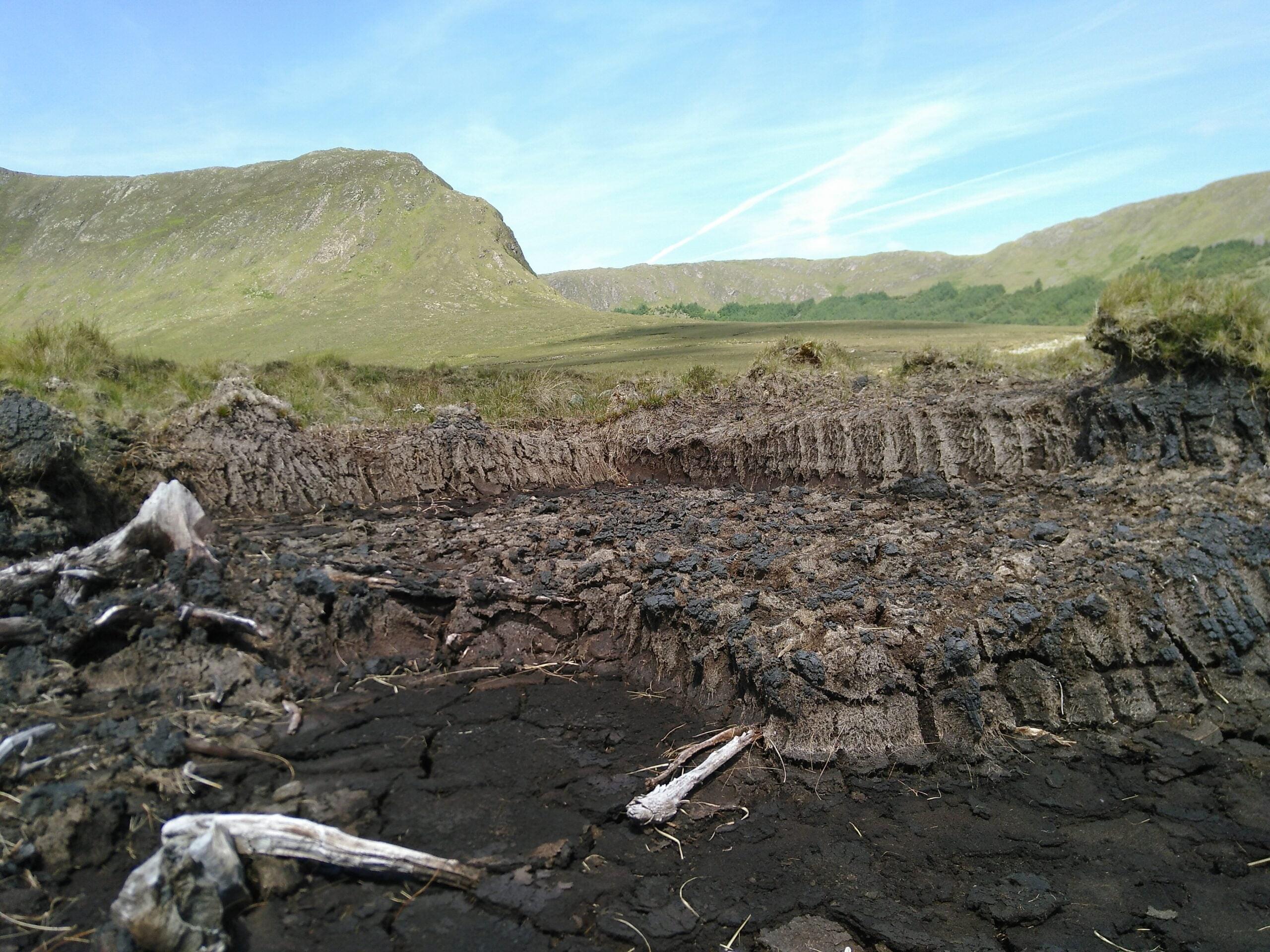
The landscape of the Joyce Country and Western Lakes geopark project is characterised by a contrast between the uplands of the Partry Mountains, Maumtrasna, the Maumturk mountains, Ben Beg, Lugnabrick and Mount Gable to the west and the undulating plains stretching into the Irish Midlands to the east starting at the shores of Loughs Mask, Carra and Corrib.
Lough Carra is a unique 16 km2 marl lake with myriad islands and a wide variety of habitats for flowers, insects and birds (www.loughcarra.org).
Lough Mask covers an area of over 81 km2 (6th largest in the state) with a maximum depth of 58 m, making it one of the deepest. It is known as an oligotrophic lake, meaning that its water contains a low amount of nutrient resulting in a limited growth of algae, allowing its use as a major source of drinking water in county Mayo.
With 180 km2, Lough Corrib is the second largest lake in Ireland and is roughly divided in two basins, a relatively shallow basin underlain by limestone to the south and a larger, deeper basin to the north underlain by a variety of bedrocks of various ages and origins.
Each of these lakes is famous for angling fishing. The water within them are all connected, and flow south into Galway Bay. The mountains of our geopark project rise to between 400 and 700 m high and are broken up by glacially carved valleys, lakes, and the many rivers that flow into the two larger lakes to the east and into Killary Harbour, Ireland’s only fjord, to the west. Our rural geopark project region is sparsely populated with a dozen villages and houses dotted evenly in between the mountains and the lake shores, the largest concentration of people is located to the east of the larger lakes on the plain.
And you can find out more from the books and articles listed here.


